Legacy Land Surveying provides professional land surveying services for property owners, developers, builders, municipalities, engineers, and project managers across Texas. Our team combines field experience, modern surveying technology, and dependable communication to deliver accurate results that support successful land projects.
From residential property boundaries to large acreage tracts, infrastructure corridors, and construction sites, we provide reliable surveying solutions tailored to the needs of each project.
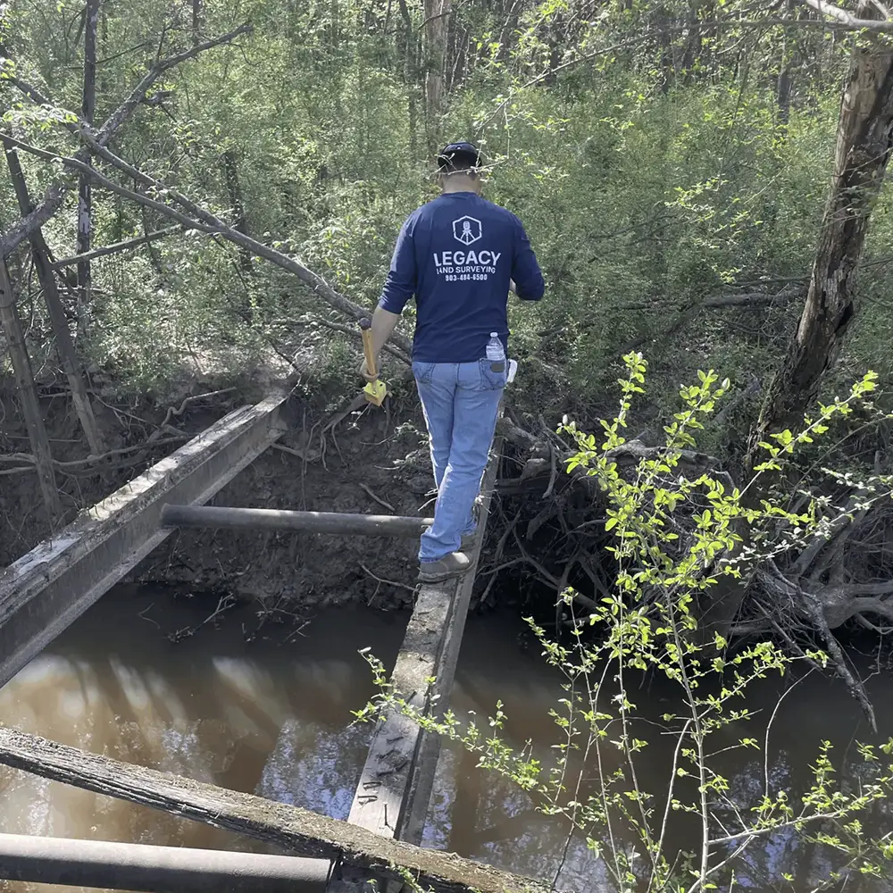
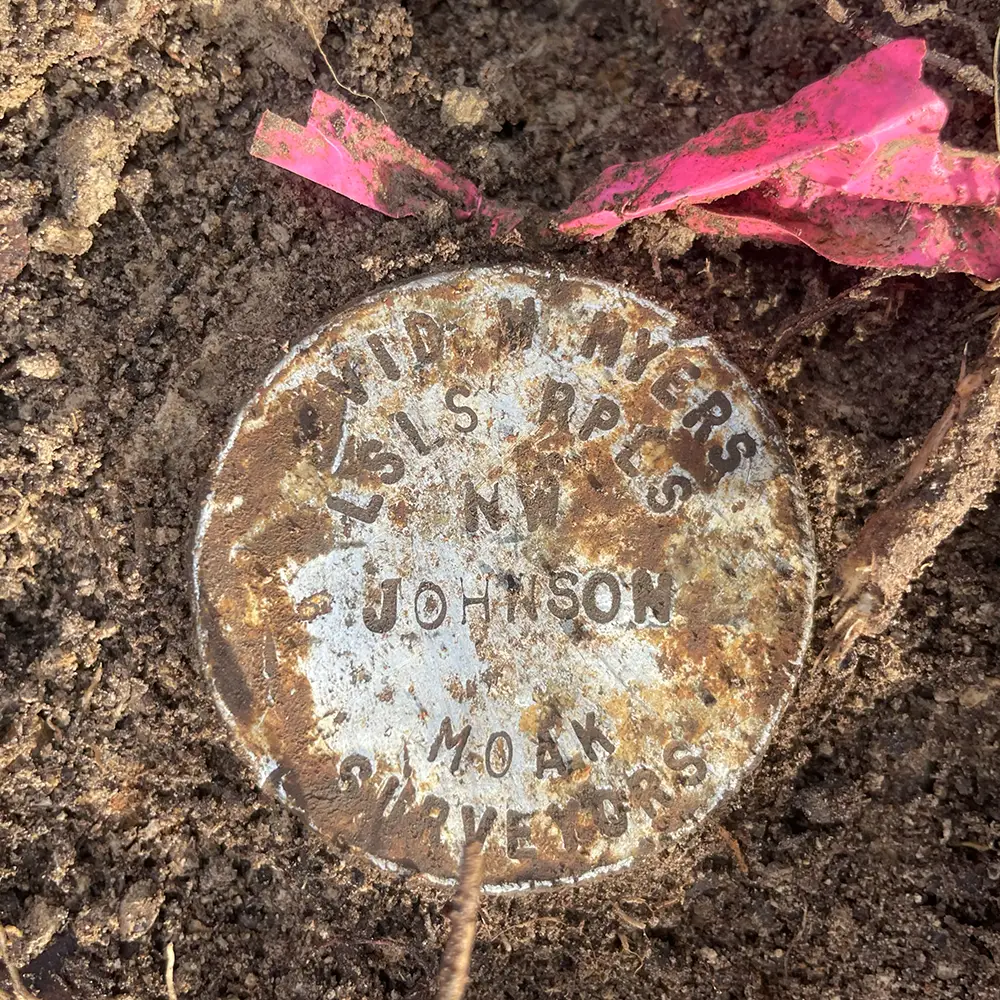
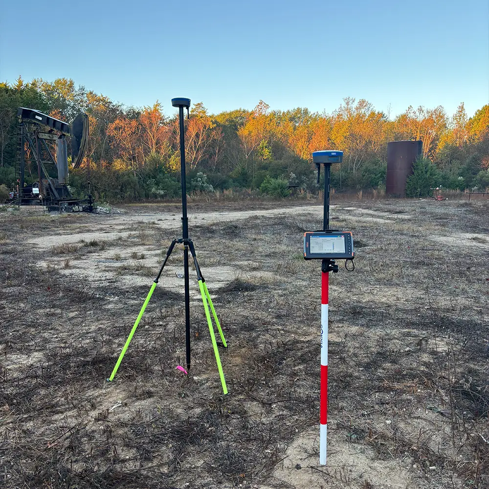
Legacy Land Surveying provides a wide range of services including boundary surveys, topographic surveys, ALTA/NSPS land title surveys, construction staking, subdivision support, utility surveys, elevation certificates, and large-acreage property surveys.
Yes. Surveys help ensure construction follows property boundaries and complies with local regulations.
A boundary survey determines the exact legal property lines and identifies improvements such as fences or structures.
A survey ensures structures are placed correctly on a property and within legal boundaries. It helps prevent costly mistakes, boundary disputes, and compliance issues during construction.
Our team uses modern surveying equipment including total stations, GPS/GNSS technology, and advanced data processing software to ensure precise and reliable results.
In many cases, yes. Property conditions change over time, and older surveys may not meet current standards or project requirements. A new survey ensures accurate and up-to-date information.