Legacy Land Surveying TX

Topographic Surveys

Accurate Data. Clear Boundaries. Confident Decisions.

Detailed Topographic Surveys for Land Development and Design

Understanding the natural and man-made features of a property is essential before planning construction or land development. At Legacy Land Surveying, we provide professional Topographic Surveys that map the elevation, terrain, and physical features of a site to support engineering, design, and development projects.

Topographic surveys provide the critical data engineers, architects, developers, and contractors rely on when designing roads, drainage systems, buildings, utilities, and other infrastructure.

With 20+ years of combined surveying experience, our team delivers reliable topographic data using modern surveying technology and efficient field methods to support projects of all sizes.

What Is a Topographic Survey?

A Topographic Survey maps the three-dimensional features of a property, showing both natural terrain and existing improvements. This information allows project teams to understand how land elevation and site features may impact development or construction.

Topographic surveys often include:

  • Elevation contours and terrain modeling
  • Natural features such as trees, streams, and drainage areas
  • Existing buildings, structures, and improvements
  • Roads, sidewalks, and parking areas
  • Utility features such as poles, valves, and manholes
  • Surface features that may affect construction or drainage


This information helps engineers and designers create accurate site plans and avoid costly surprises during construction.

When You May Need a Topographic Survey

Topographic surveys are commonly required before development, construction, or engineering design work begins.

Why Choose Us

Delivering Accuracy and Reliability in Every Survey

Topographic surveys require careful data collection and precise measurements. Legacy Land Surveying provides reliable survey data backed by professional experience and modern technology.

Experienced Surveyors

Our licensed professionals bring years of experience to every project.

Advanced Technology

We utilize modern surveying equipment and digital mapping systems.

Reliable Project Data

Our surveys provide dependable elevation and site feature data used by engineers, architects, and contractors.

Clear Communication

We work closely with project teams to ensure the survey captures all required features and meets project needs.

Legacy Land Surveying

Our Surveying Services

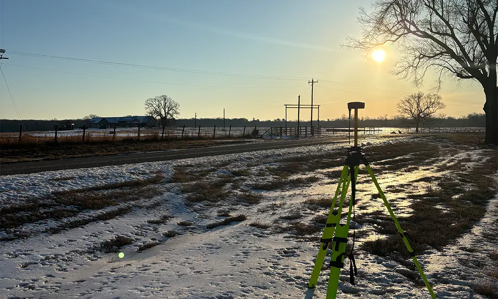
Boundary / Improvement Surveys

Defines property boundaries and identifies existing improvements such as structures, fences, and driveways. Essential for property transactions, development planning, and resolving boundary questions with confidence.
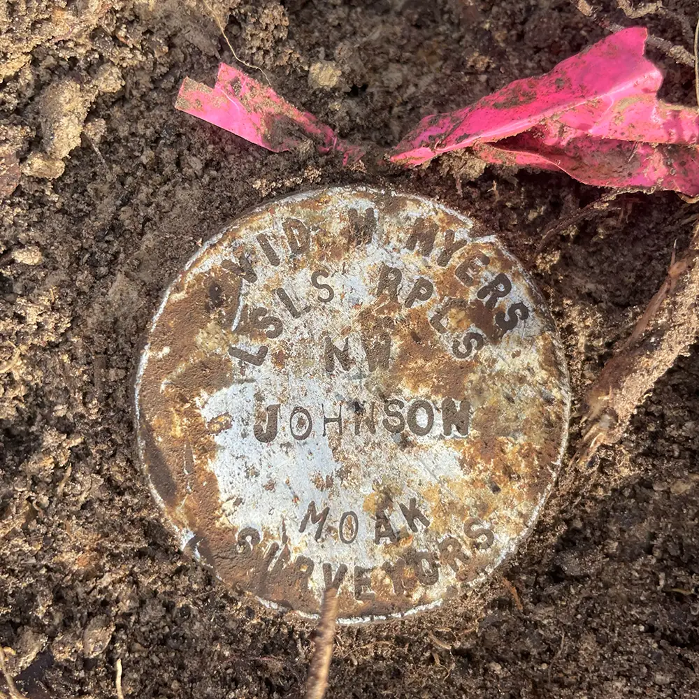
Land Title Surveys

Comprehensive surveys that identify boundary lines, improvements, easements, and encroachments affecting property ownership. Commonly used to support title insurance requirements and real estate transactions.

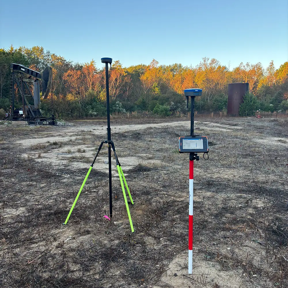
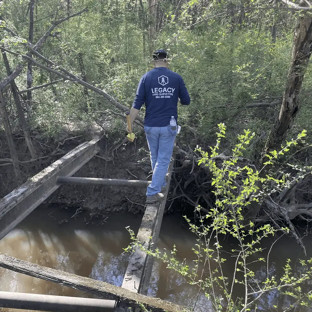
Oil & Gas / Renewable Energy Survey Services

Delivers specialized surveying for pipelines, well sites, transmission lines, and renewable energy projects. Supports accurate planning, permitting, and construction for energy infrastructure across Texas.

Construction Services

Provides precise staking, layout, and as-built verification to ensure projects are built according to design plans. Helps contractors maintain accuracy, reduce costly errors, and keep projects on schedule.

Platting & Subdivision Services

Supports the division of land into lots or tracts, including preparation of subdivision plats that meet local regulations. Ideal for developers, landowners, and municipalities planning new developments or property splits.

Reliable Data. Real Results.

Supporting Developers, Engineers, and Builders

Legacy Land Surveying provides topographic surveys for:

• Residential and commercial development projects
• Engineering and site design planning
• Roadway and infrastructure projects
• Utility planning and installation
• Construction and grading projects

We proudly serve Hopkins County, Rains County, and surrounding Texas communities, providing dependable surveying services for land development and construction.

Request a Topographic Survey

If your project requires a Topographic Survey, Legacy Land Surveying is ready to help. Our team provides accurate terrain mapping and professional survey data to support successful development and construction projects.

Contact us today to discuss your project or request a consultation.